San Francisco map poster
Retro in Haight, a free PDF to print at A3 or A4
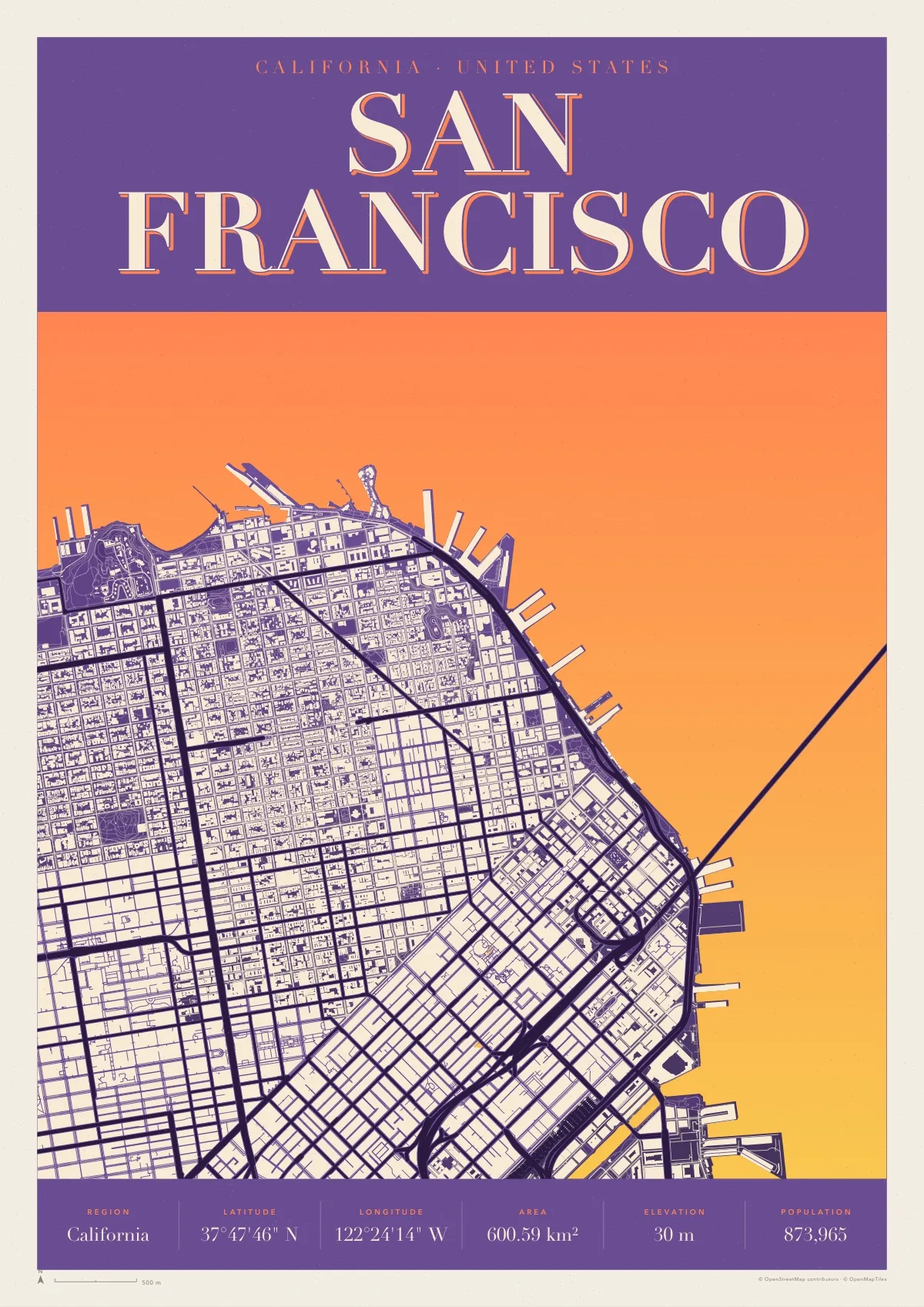
The north-east corner of the city as a sixties screenprint: the street grid from the Marina to the Embarcadero, Market Street slicing through it, the piers fanning out along the waterfront and the Bay Bridge leaving to the east.
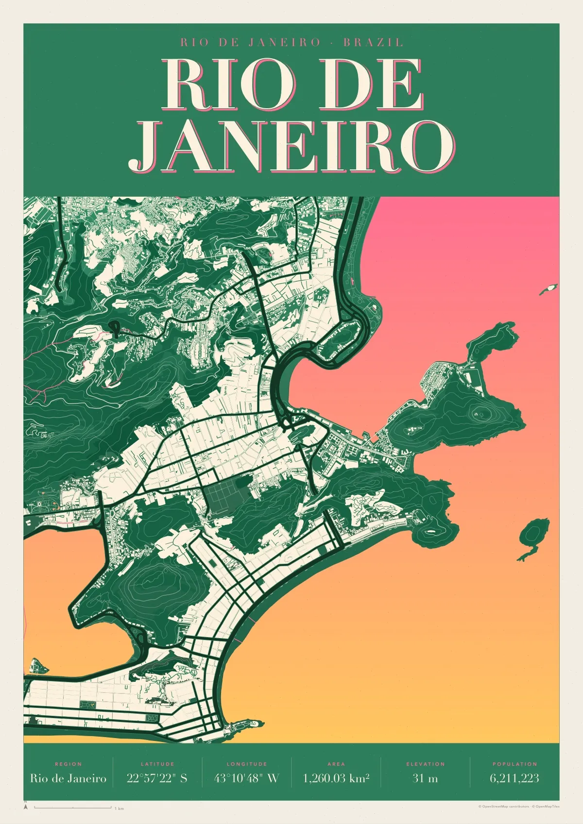
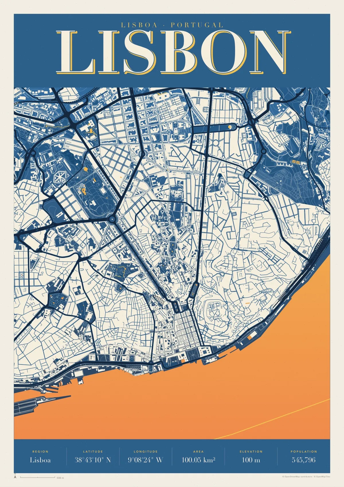
Retro is a 1960s screenprint: two inks blending down the sheet, the built-up city as one pale shape with its streets cut out, hills in contour lines and a big serif name on top. This one is printed in the purple, orange and yellow of a 1967 concert poster.
Download the PDF A3, vector, 5.2 MB
- Size
- A3, 297 × 420 mm (11.7 × 16.5 in); scales to A4 and A2
- File
- Vector PDF, one page, 5.2 MB
- Style
- Retro, in the Haight colours
- Region
- California
- Latitude
- 37°47'46" N
- Longitude
- 122°24'14" W
- Area
- 600.59 km²
- Elevation
- 30 m
- Population
- 873,965
- Price
- Free to print for yourself or as a gift
- Map data
- © OpenStreetMap contributors
Paper, print shops and frames: how to print a map poster.