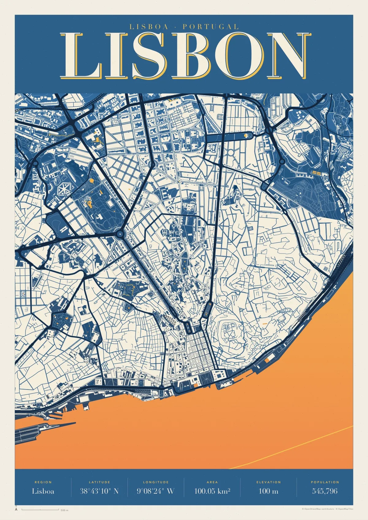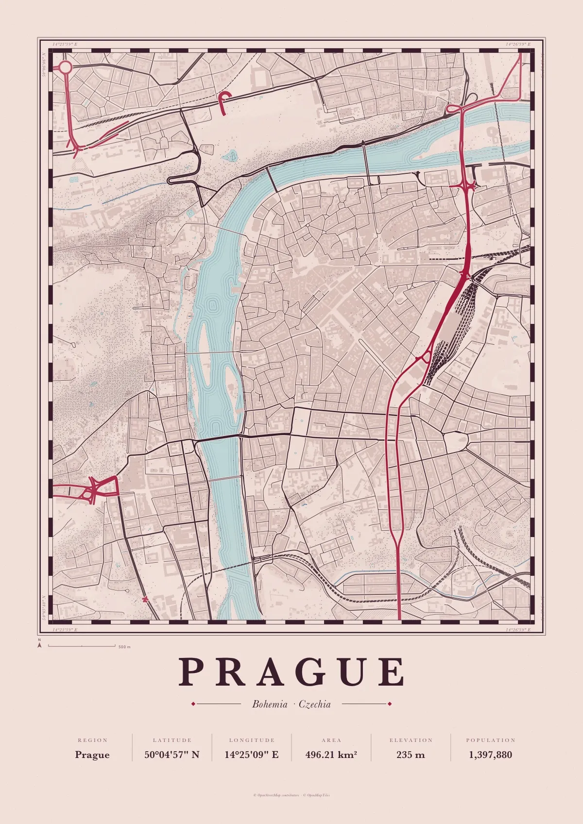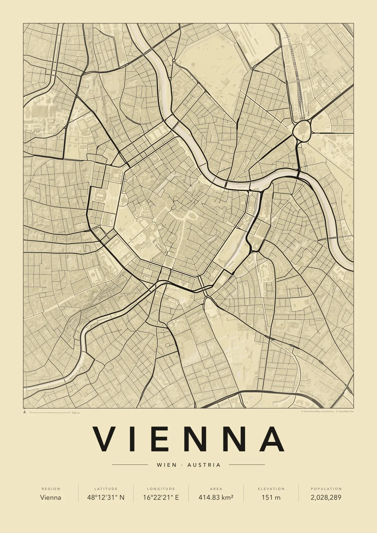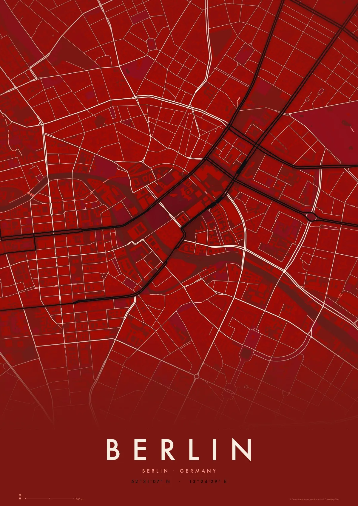
Rio de Janeiro map poster
Retro in Tropicália, a free PDF to print at A3 or A4
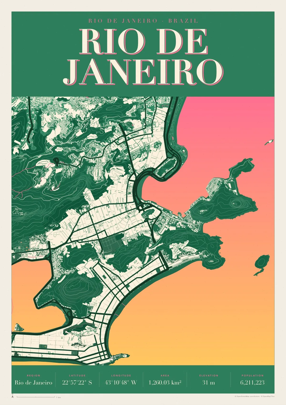
The city squeezed between mountains and sea: Botafogo bay and Sugarloaf, the long curves of Copacabana and Ipanema, the lagoon behind them and the forested hills in dark green contour lines.
Retro is a 1960s screenprint: two inks blending down the sheet, the built-up city as one pale shape with its streets cut out, hills in contour lines and a big serif name on top. This one is printed in jungle green, with the sea blending from pink to yellow.
Download the PDF A3, vector, 6.8 MB
- Size
- A3, 297 × 420 mm (11.7 × 16.5 in); scales to A4 and A2
- File
- Vector PDF, one page, 6.8 MB
- Style
- Retro, in the Tropicália colours
- Region
- Rio de Janeiro
- Latitude
- 22°57'22" S
- Longitude
- 43°10'48" W
- Area
- 1,260.03 km²
- Elevation
- 31 m
- Population
- 6,211,223
- Price
- Free to print for yourself or as a gift
- Map data
- © OpenStreetMap contributors
Paper, print shops and frames: how to print a map poster.