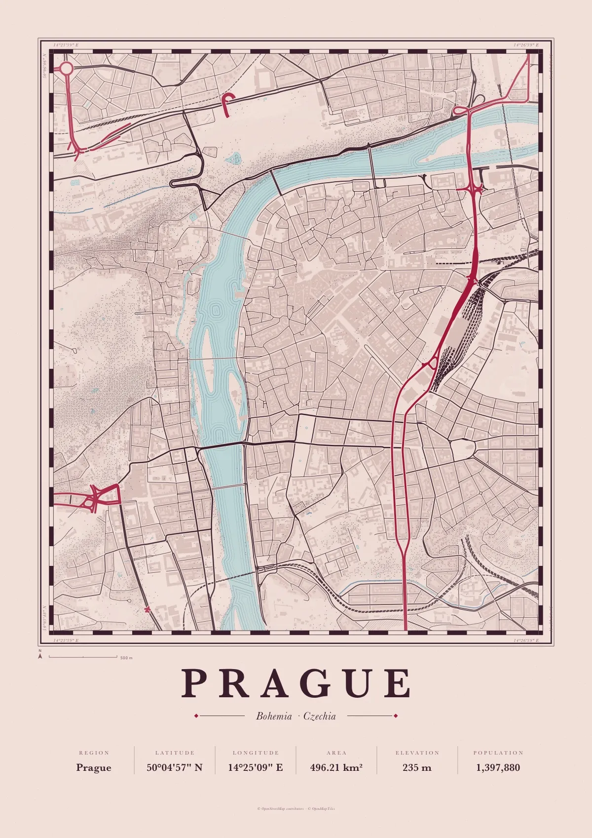
Prague map poster
Atlas in Garnet, a free PDF to print at A3 or A4
The Vltava bending through the middle of the plate, with the Old Town and the New Town on its right bank and the Lesser Town, the castle and Petřín hill on its left.
Atlas is an old cartographer’s plate: a ruled border, engraved water lines along every shore, hatched woods, stippled hills and Baskerville lettering. This one is printed in rose-tinted paper, plum ink and main roads in garnet red.
Download the PDF A3, vector, 3.7 MB
- Size
- A3, 297 × 420 mm (11.7 × 16.5 in); scales to A4 and A2
- File
- Vector PDF, one page, 3.7 MB
- Style
- Atlas, in the Garnet colours
- Region
- Prague
- Latitude
- 50°04'57" N
- Longitude
- 14°25'09" E
- Area
- 496.21 km²
- Elevation
- 235 m
- Population
- 1,397,880
- Price
- Free to print for yourself or as a gift
- Map data
- © OpenStreetMap contributors
Paper, print shops and frames: how to print a map poster.