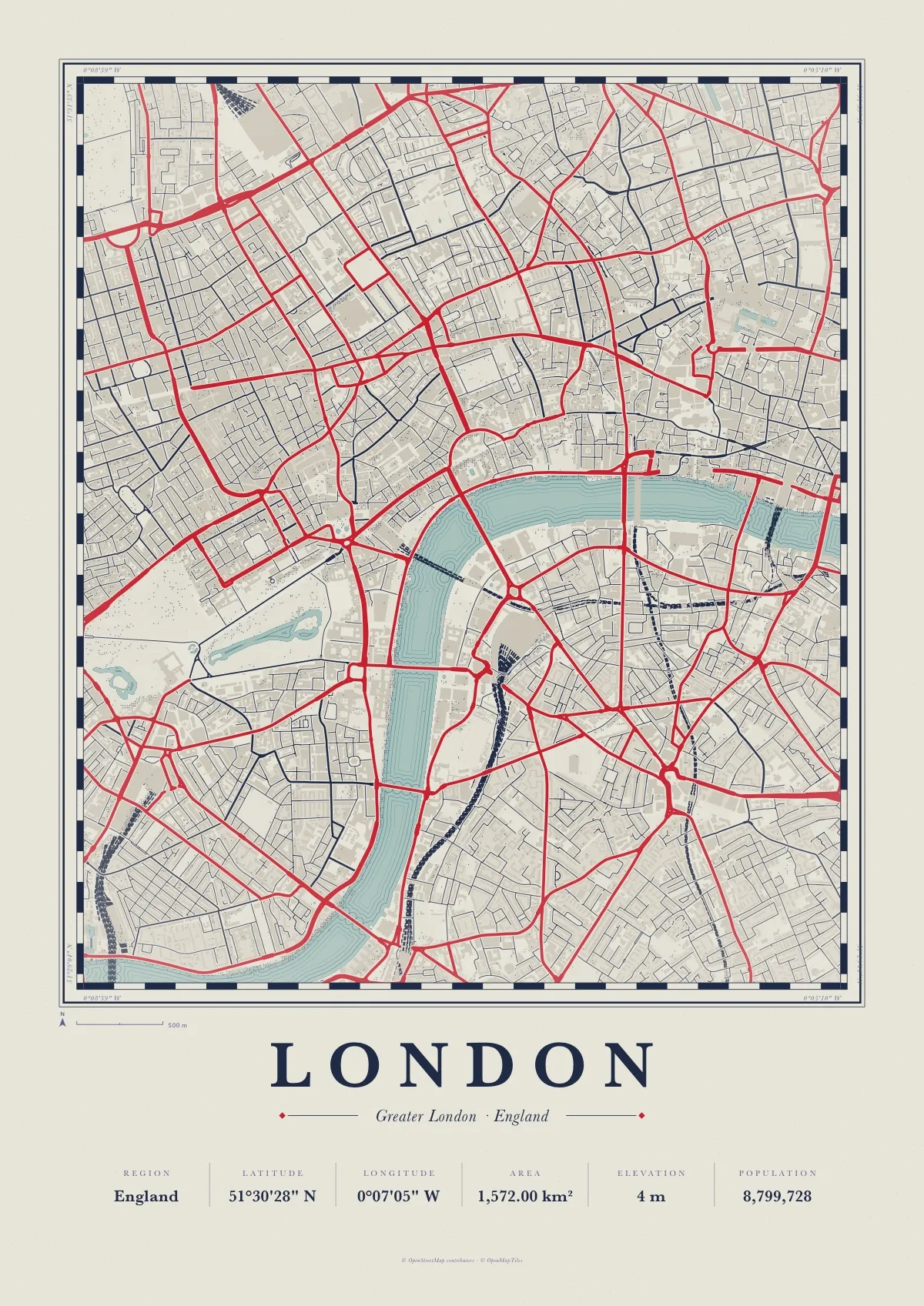
London map poster
Atlas in Portland, a free PDF to print at A3 or A4
Central London on both banks of the Thames, drawn like an old survey sheet: Westminster, Soho and Covent Garden to the north of the river, the South Bank and Waterloo below it.
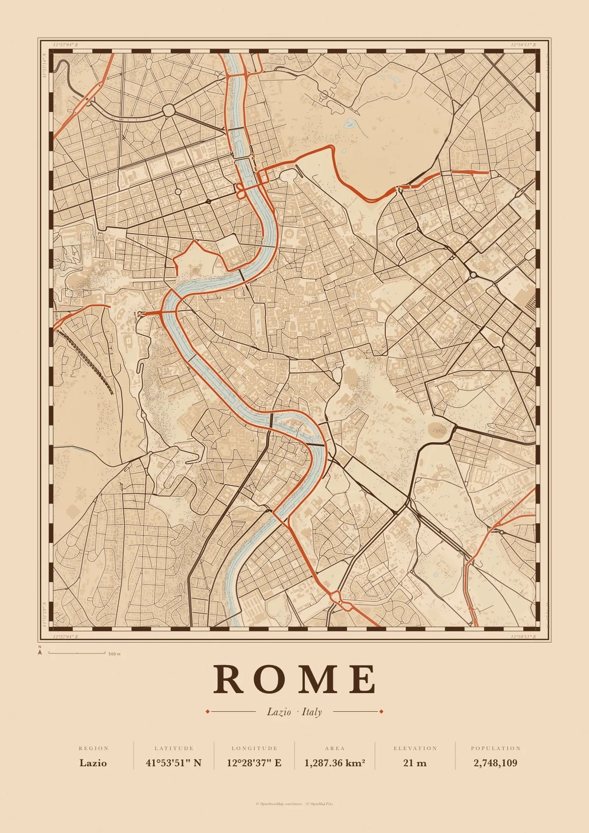
Atlas is an old cartographer’s plate: a ruled border, engraved water lines along every shore, hatched woods, stippled hills and Baskerville lettering. This one is printed in Portland stone and navy ink, with main roads in pillar-box red.
Download the PDF A3, vector, 4.4 MB
- Size
- A3, 297 × 420 mm (11.7 × 16.5 in); scales to A4 and A2
- File
- Vector PDF, one page, 4.4 MB
- Style
- Atlas, in the Portland colours
- Region
- England
- Latitude
- 51°30'28" N
- Longitude
- 0°07'05" W
- Area
- 1,572.00 km²
- Elevation
- 4 m
- Population
- 8,799,728
- Price
- Free to print for yourself or as a gift
- Map data
- © OpenStreetMap contributors
Paper, print shops and frames: how to print a map poster.