Amsterdam map poster
Minimal in Delft, a free PDF to print at A3 or A4
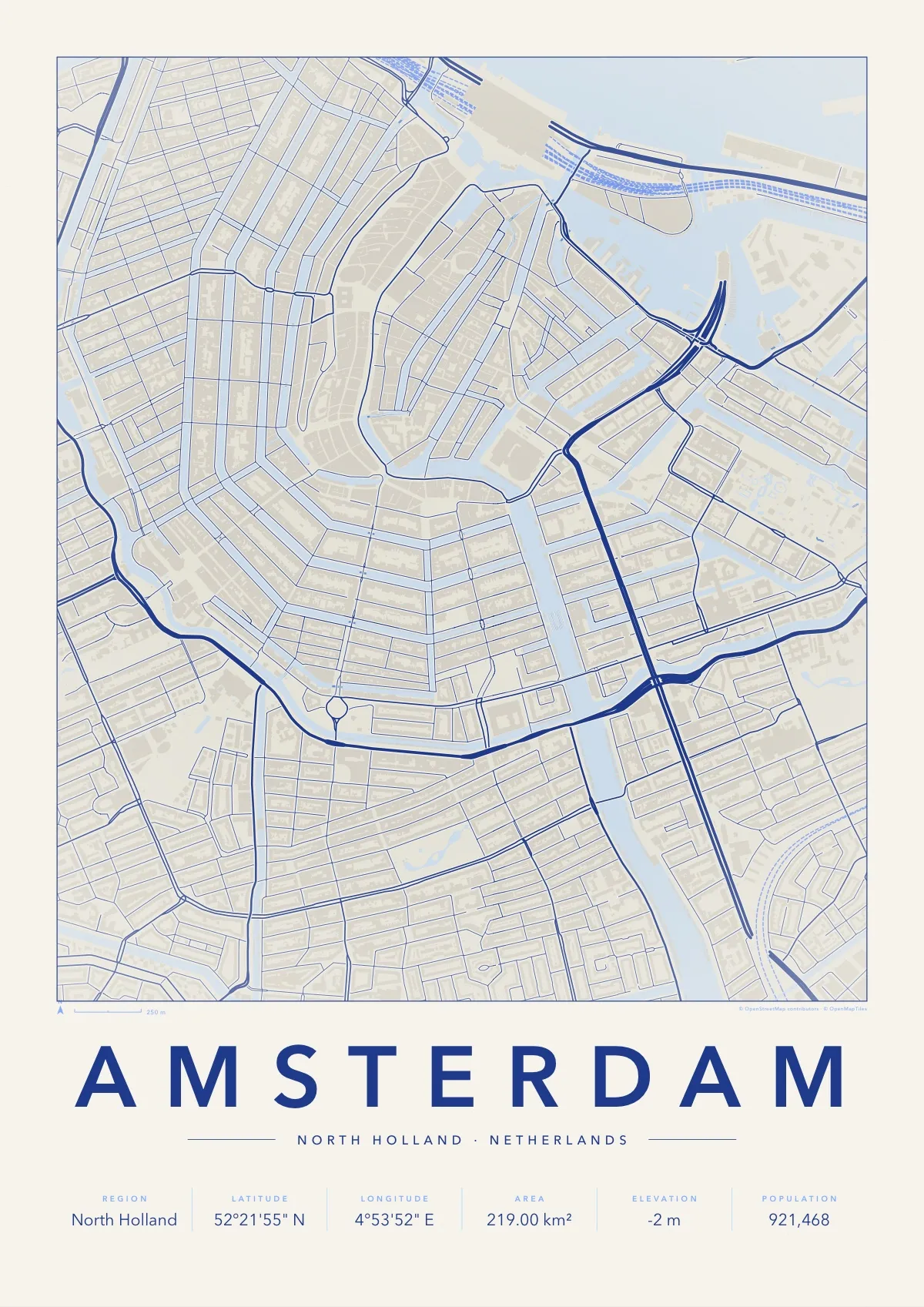
The canal ring in full: the half-circles of the Herengracht, Keizersgracht and Prinsengracht around the old centre, the IJ to the north and the Amstel coming in from the south.
Minimal is the classic city map print: fine street lines on plain paper, soft relief shading, and the name set wide in capitals above a row of facts. This one is printed in Delft blue ink on white, the way the city’s tiles are painted.
Download the PDF A3, vector, 2.7 MB
- Size
- A3, 297 × 420 mm (11.7 × 16.5 in); scales to A4 and A2
- File
- Vector PDF, one page, 2.7 MB
- Style
- Minimal, in the Delft colours
- Region
- North Holland
- Latitude
- 52°21'55" N
- Longitude
- 4°53'52" E
- Area
- 219.00 km²
- Elevation
- -2 m
- Population
- 921,468
- Price
- Free to print for yourself or as a gift
- Map data
- © OpenStreetMap contributors
Paper, print shops and frames: how to print a map poster.